

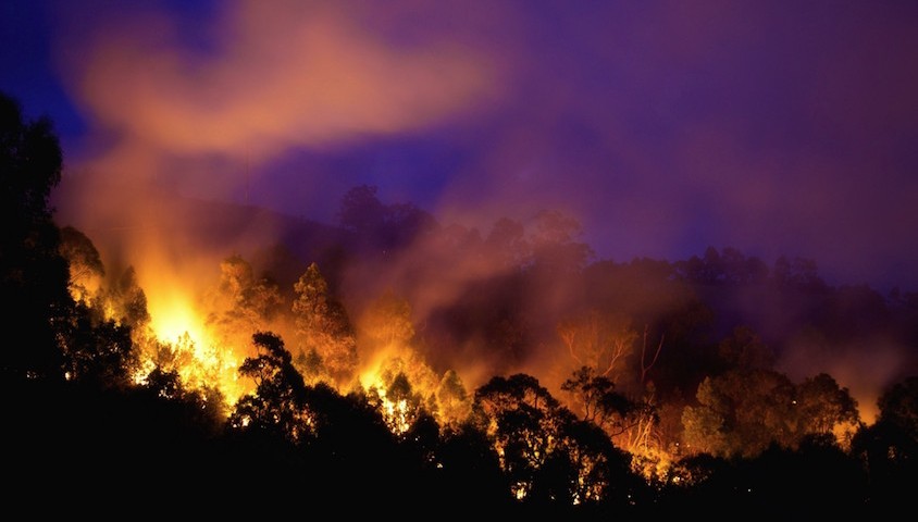
Large swathes of Australia’s southeast and west are expected to experience ‘above average’ bushfire risk this summer, as a result of returning El Niño conditions that is currently being described as ‘the strongest on record’.

Bushfire outlook map from the Australian Fire Authorities Council.
The forecast, created by the Bushfire and Natural Hazards CRC in partnership with the Bureau of Meteorology, examines the risk of bushfire across the nation in the 2015-16 bushfire season, categorising the risk for Melbourne, Sydney and Perth as all being above average.
Not even Tasmania is safe from potential harm, with a significant area along its east coast also flagged as at risk.
The accompanying statement on the Bushfire and Natural Hazards CRC website reads:
‘There have also been significantly below average rainfalls over the last decade across almost all of eastern Australia, the west coast and Tasmania. Such underlying dry conditions mean that any surface moisture from recent rains will quickly decline once temperatures begin to warm. 2014 was Australia’s third warmest year since records began and, when combined with such long term rainfall deficiencies, an early start to the bushfire season is likely in many areas.’
While not explicitly stated, the Bushfires and Natural Hazards CRC forecast certainly implies this, the strongest El Niño event on record, is likely influenced by climate change.